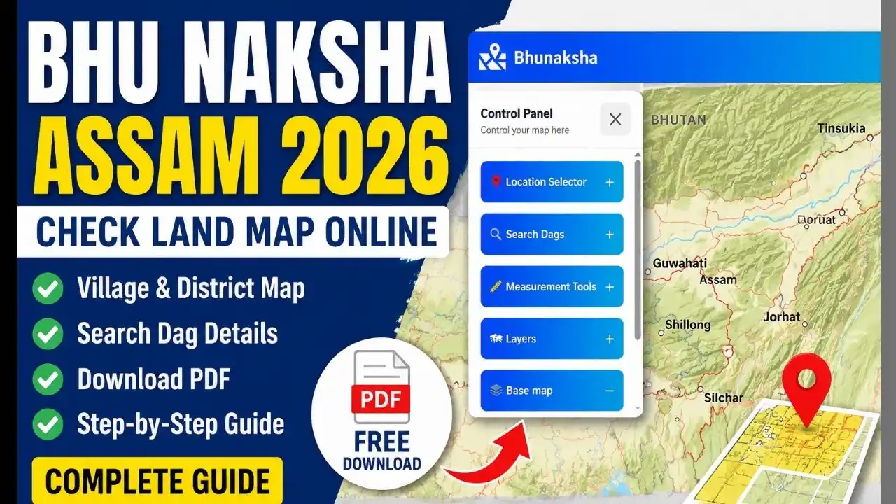
Bhu Naksha Assam 2026 is an online cadastral mapping service that helps citizens view digitized land maps and parcel information in Assam. Through the official Bhu Naksha Assam portal, users can select a location, view land parcels, check details such as Dag Number, Village, Patta Number and area, and download the available map or parcel details in PDF format.
If you are searching for Bhu Naksha Assam, Bhu Naksha Assam download, Village District Bhu Naksha Assam PDF, Bhunaksha Assam online, or Bhu Naksha Assam 2026, this guide explains the complete process in simple steps.
The official Bhu Naksha portal is developed by NIC, Assam, and is part of Assam’s Integrated Land Records Management System (ILRMS). The Assam government describes Bhunaksha as an online cadastral mapping software.
Bhu Naksha Assam 2026 – Overview
| Particular | Details |
|---|---|
| Service Name | Bhu Naksha Assam |
| Purpose | Digital land/cadastral map |
| State | Assam |
| Service Type | Online Land Map |
| Main Information | Dag, Village, Patta and Land Parcel Details |
| Map Type | Cadastral/Land Parcel Map |
| PDF Facility | Available for selected parcel details |
| Developed By | NIC, Assam |
| Department | Revenue & Disaster Management Department |
| Online Mode | Yes |
| Official Portal | bhunaksha.assam.gov.in |
The official portal provides a Location Selector, Search Dags, Measurement Tools and Layers. When a land parcel is selected, the portal displays available Dag Information and provides a Download PDF option.
What is Bhu Naksha Assam?
Bhu Naksha Assam is a digital land mapping platform used to view cadastral maps of land parcels in Assam. In simple terms, a cadastral map shows the location and boundaries of individual land parcels.
Assam’s ILRMS identifies Bhunaksha as a cadastral mapping software. Government information also notes that digitized village maps have been integrated with land records through Bhu-Naksha.
This makes it easier for citizens to inspect land maps online rather than depending entirely on physical map records.
The portal can show information associated with a selected parcel, including:
- Dag Number
- Village
- Location Code
- ULPIN, where available
- Patta Number
- Patta Type
- Land Class
- Area information
These fields are displayed in the official Bhu Naksha interface.
Bhu Naksha Assam 2026: How Does It Work?
Bhu Naksha works by connecting digitized cadastral maps with land-record information. A user first selects the relevant location and then identifies the required land parcel on the map.
The basic process is:
District/Location → Map → Land Parcel → Dag Details → PDF Download
The system is useful when you want to understand the position of a particular Dag or land parcel on the village map.
However, users should remember that a map is only one component of land records. For ownership-related information, the corresponding Jamabandi or other official land records should also be checked.
How to Check Bhu Naksha Assam Online
You can check Bhu Naksha Assam online through the official portal.
Step 1: Visit the Official Bhu Naksha Assam Website
Open the official Bhu Naksha Assam portal:
Bhu Naksha Assam Official Portal
The portal is operated as part of Assam’s digital land-record infrastructure and identifies itself as being developed by NIC, Assam.
Step 2: Use the Location Selector
After opening the website, use the Location Selector to navigate to the required area.
Depending on the available map data, select the relevant location and proceed toward the village or land parcel you want to inspect.
Step 3: Find the Required Land Parcel
The portal provides Search Dags and map-based controls. If you know the Dag Number, use the search facility where available.
A Dag Number is particularly useful because it helps identify a specific parcel within the land-record system.
Step 4: Select the Land Parcel
Click on the required parcel on the map. The system can display information associated with the selected land parcel.
The official interface includes fields such as Village, Dag No., Location Code, ULPIN, Patta No., Patta Type and Land Class.
Step 5: Check the Map and Details
Review the displayed map and parcel information carefully.
If you are checking property for purchase, mutation, construction or another important purpose, compare the information with the latest official land records and relevant documents.
Bhu Naksha Assam Download: How to Download PDF
One of the most searched features is Bhu Naksha Assam download.
The official Bhu Naksha interface includes a Download PDF button under the Dag Details section.
Steps to Download Bhu Naksha Assam PDF
- Visit the official Bhu Naksha Assam website.
- Select the required location.
- Search or select the relevant land parcel.
- Open the Dag Details section.
- Verify the displayed land information.
- Click Download PDF if the option is available.
- Save the generated PDF on your device.
The availability and contents of a downloaded PDF can depend on the parcel and data available in the system.
Important Note About “Free PDF Download”
People often search for Village District Bhu Naksha Assam PDF free download. The official portal provides a PDF download option for selected parcel details, but it should not be assumed that every complete village cadastral map is available as one downloadable PDF.
For a specific property, selecting the parcel and using the portal’s available PDF facility is the safer approach.
Village District Bhu Naksha Assam
The Bhu Naksha system is designed around geographic and land-record information. Therefore, users generally need to identify the correct location before viewing a particular parcel.
A useful way to understand the hierarchy is:
| Location/Record | Why It Matters |
| District | Identifies the broad administrative area |
| Revenue Circle/Sub-area | Narrows down the location |
| Village | Identifies the revenue village |
| Dag Number | Identifies a specific land parcel |
| Patta Number | Connects land with the relevant patta record |
| Land Map | Shows the parcel spatially |
For example, if you want to check land in a particular Assam village, simply searching the village name may not be enough. You may also need the correct Dag Number or other land-record information.
What Information Can You See on Bhu Naksha Assam?
The Bhu Naksha portal can provide several useful details about a selected parcel.
1. Dag Number
The Dag Number is one of the most important identifiers when locating a specific land parcel.
If you already have your land documents, keep the Dag Number available before searching.
2. Village Name
The selected parcel is associated with a village in the land-record system.
3. Location Code
The portal may display a location code associated with the selected land parcel.
4. ULPIN
Where available, the system can display ULPIN information. ULPIN refers to the Unique Land Parcel Identification Number used in India’s digital land-record modernization efforts.
5. Patta Number
The Patta Number is another important identifier associated with Assam land records.
6. Patta Type
The portal can also show the applicable Patta Type where that information is available.
7. Land Class
The selected parcel’s land classification can also be displayed.
8. Area Information
Area-related information is available in the Dag Details section of the official portal.
Bhu Naksha Assam and Jamabandi: What Is the Difference?
Bhu Naksha and Jamabandi are related to land records, but they serve different purposes.
Bhu Naksha focuses primarily on the spatial/map representation of land parcels, whereas Jamabandi provides textual land-record information.
The Assam Jamabandi system allows users to select District, Sub-Division, Circle, Mouza/Porgona, Lot, Village, Patta Type and search using Patta Number or Dag Number.
| Bhu Naksha | Jamabandi |
| Digital land map | Textual land record |
| Shows parcel location | Shows record information |
| Focuses on spatial boundaries | Focuses on land-record details |
| Useful for map verification | Useful for checking recorded details |
| Provides parcel information | Provides patta/dag-based record information |
For important property verification, it is better to use both systems where applicable rather than relying on only a map.
Is Bhunaksha Assam Gov In Login Required?
Another common search query is “Bhunaksha Assam gov in login.”
For ordinary citizens, the public Bhu Naksha interface is primarily designed for viewing maps and parcel information. The public portal itself provides location selection, map controls, Dag search and parcel details.
The broader ILRMS platform also lists different land-record applications for citizens and government users.
Therefore, users should avoid assuming that a separate citizen login is required simply to view a land map.
If a page asks for government credentials, do not enter information unless you are an authorized user and are on the correct official government website.
Bhu Naksha Assam Online: Main Features
The official portal provides several tools that make digital map viewing easier.
Location Selector
The location selector helps users navigate the map to the required geographic area.
Search Dags
The Search Dags function can be used to locate land parcels when the required Dag information is available.
Measurement Tools
The portal includes measurement tools that can help users inspect map distances or areas.
Map Layers
Different map layers can be selected through the Layers section.
Base Map Options
The interface provides base-map options including OpenStreetMap, Bhuvan map and ESRI.
Why Is Bhu Naksha Assam Useful?
Digital cadastral maps can be useful for several purposes.
Land Identification
A map can help users identify the location of a particular parcel.
Boundary Understanding
The cadastral map can help users understand the mapped position of parcels and their relationship with nearby parcels.
Property Verification
When buying or dealing with land, a map can be used as one part of the verification process.
Government Services
Digitized land maps are an important component of modern land-record management.
Assam’s ILRMS describes the integration of land records and maps as part of its land-record modernization system.
Bhu Naksha Assam for Land Buyers
If you are planning to purchase land in Assam, checking the Bhu Naksha map can be useful, but it should not be your only verification step.
Before purchasing property, compare:
- Dag Number
- Patta Number
- Village
- Area
- Jamabandi details
- Land classification
- Registered documents
- Latest land revenue information
- Applicable government records
The Bhu Naksha map can help you understand the spatial side of the property, while Jamabandi and other official records provide additional information.
For significant transactions, professional/legal verification is advisable.
Bhu Naksha Assam vs Dharitree
Assam has multiple digital land-record applications under its Integrated Land Records Management System.
The ILRMS website identifies Dharitree as an online system for updating land records and Bhunaksha as an online cadastral mapping software.
| Service | Main Purpose |
| Bhu Naksha | Cadastral/land map |
| Dharitree | Land-record updating |
| Jamabandi | View land-record information |
| Mission Basundhara | Online land-related government services |
| e-Khazana | Online land revenue payment |
The Government of Assam’s ILRMS portal lists Bhunaksha, Basundhara and other applications as components of its digital land-record ecosystem.
Bhu Naksha Assam 2026: Common Problems and Solutions
Sometimes users may not find their village or land parcel immediately.
Village Not Showing
Make sure you have selected the correct location and are using the current official portal.
Dag Number Not Found
Check whether the Dag Number has been entered correctly. Also verify the number against your official land documents.
Map Is Not Loading
Try refreshing the page, using a modern browser and checking your internet connection.
PDF Download Not Working
First select the required parcel and check whether the Download PDF option is available. The official portal provides this facility under Dag Details.
Information Appears Different
Do not immediately assume that the online map is incorrect. Compare it with the latest Jamabandi and other official records. If there is a genuine discrepancy, contact the appropriate revenue authority.
Is Bhu Naksha Assam an Official Website?
Yes. The official Bhu Naksha Assam portal is hosted at bhunaksha.assam.gov.in and identifies itself as Bhunaksha, with the system developed by NIC, Assam.
The Assam ILRMS website also lists Bhunaksha as an online cadastral mapping software.
Always check that you are using an official government domain before entering personal information or relying on a website for land-related services.
Important Tips Before Downloading Bhu Naksha Assam PDF
Keep the following information ready:
- District name
- Revenue Circle or relevant location
- Village name
- Dag Number
- Patta Number, if available
- Existing Jamabandi details
- A stable internet connection
Most importantly, carefully check the selected parcel before downloading or saving the map.
Frequently Asked Questions (FAQs) Bhu Naksha Assam
– What is Bhu Naksha Assam?
Bhu Naksha Assam is a digital cadastral mapping platform used to view land parcel maps and related information online.
– How can I check Bhu Naksha Assam online?
Visit the official Bhu Naksha portal, use the location selector, locate the required land parcel and check its Dag Details.
– How can I download Bhu Naksha Assam PDF?
Select the required parcel on the official portal and use the Download PDF option available in the Dag Details section, where provided.
– Can I download a Village District Bhu Naksha Assam PDF for free?
The official system provides PDF download functionality for selected parcel details. However, availability of a complete village or district-wide PDF may vary. Do not rely on unofficial websites claiming to provide every village map as a free PDF.
– Do I need a login to check Bhu Naksha Assam?
The public Bhu Naksha interface provides map and parcel-search functionality without presenting a normal citizen login as the primary way to access the map. Government users may have separate access requirements for administrative systems.
– What is the difference between Bhu Naksha and Jamabandi?
Bhu Naksha focuses on the spatial land map, while Jamabandi provides textual land-record information. Both can complement each other when checking land details.
– Can Bhu Naksha be used as the only proof of land ownership?
No. A cadastral map should not be treated as the only proof of ownership. For important property matters, verify the latest official land records, title documents and applicable government records.
Conclusion
Bhu Naksha Assam 2026 makes it easier to view digitized land maps and parcel information online. Citizens searching for Bhu Naksha Assam download, Village District Bhu Naksha Assam, Bhu Naksha Assam PDF free download, Bhunaksha Assam gov in login, or Bhu Naksha Assam online can use the official portal to locate available land parcels and view their details.
The official Bhu Naksha portal provides useful features such as Location Selector, Search Dags, Measurement Tools, Layers and PDF download for selected parcel details.
For accurate land verification, however, it is best to use Bhu Naksha together with Jamabandi and other official land records. Assam’s ILRMS integrates cadastral mapping with the broader digital land-record ecosystem, helping make land information more accessible to citizens.
Also read:-

Dharitri Assam is an Assam-focused information platform providing the latest updates on government jobs, education, schemes, scholarships, admit cards, results, and career opportunities. Our goal is to make useful and reliable information easy to understand and accessible to everyone in Assam.